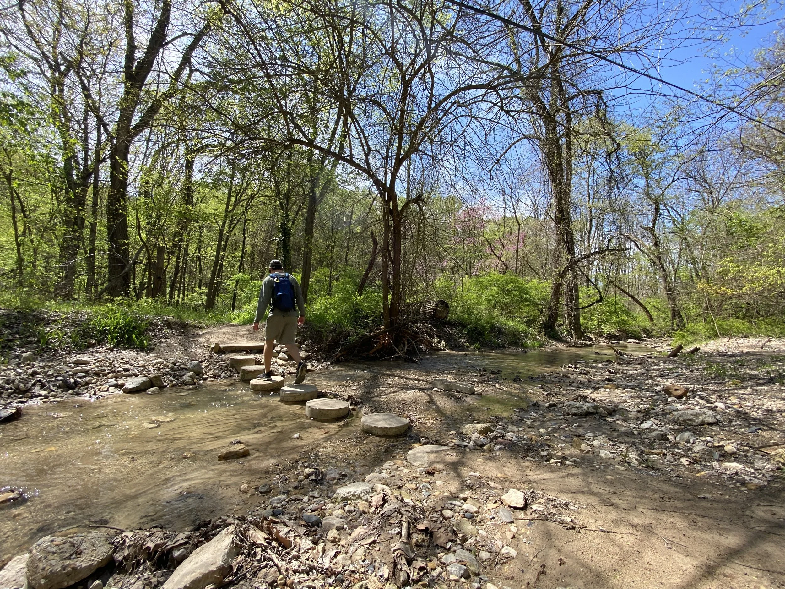
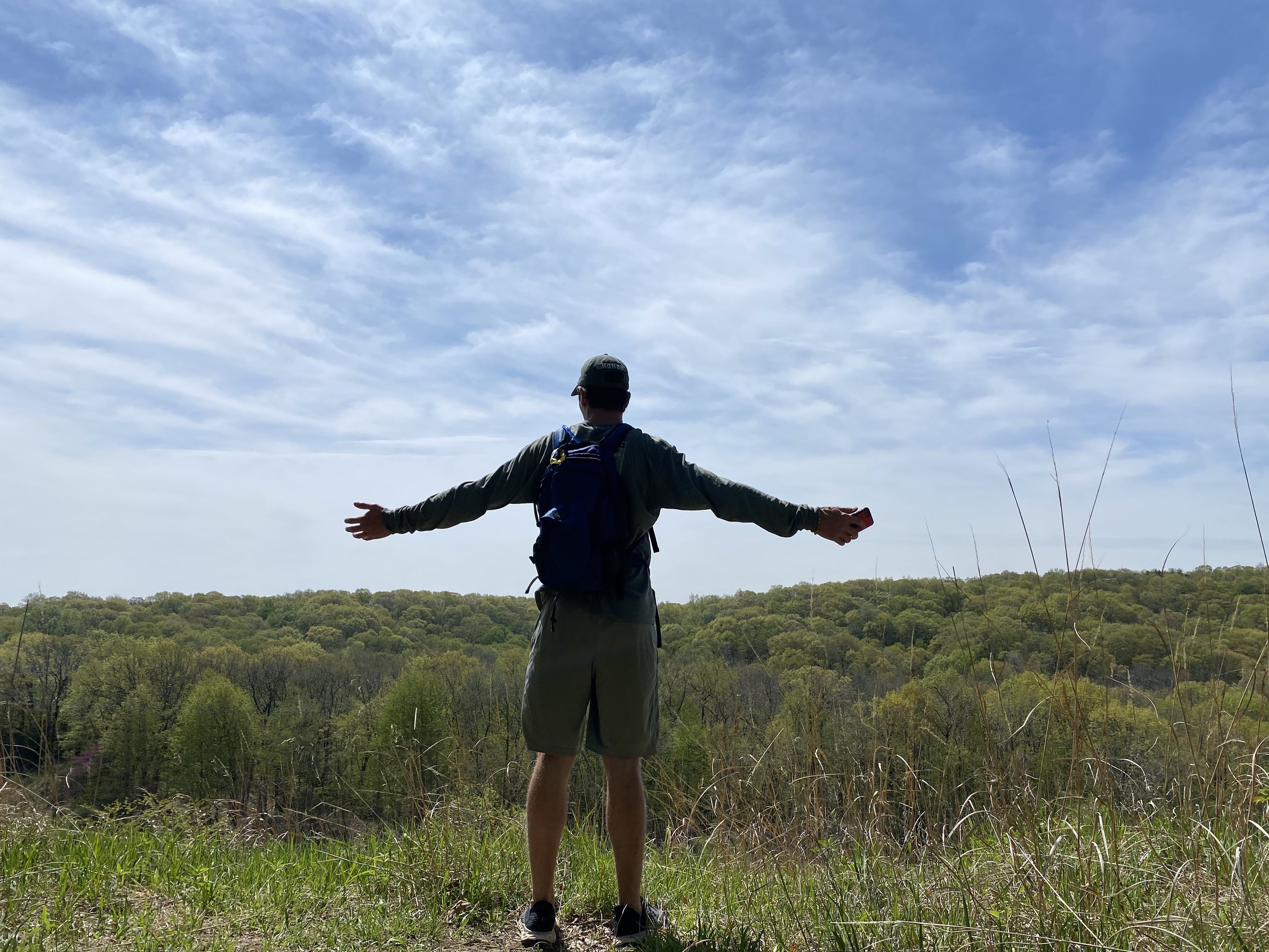
2023 Challenge #3: Pack the P.A.T. (Peoria’s Appalachian Trail)
Do you dream of visiting Appalachia to climb and descend the scenic wild? Save yourself the trip and hike Peoria’s Appalachian first. Plenty of lush forest trails, biodiversity and unforgettable adventures await you in Central Illinois.
For our third challenge, we invite you to Pack the P.A.T. (Peoria’s Appalachian Trail) — aka “The Whole Ench-Hill-LOTTA” — aka 27.2 miles of scenic river bluff wild from Singing Woods Nature Preserve to the Peoria Riverfront.
Watch the video below from Alliance cofounder Mark Monge (who mapped and recently hiked the trail with his son) for a nice preview of what to expect:
THIS HIKE IS SURE TO GET YOUR BLOOD PUMPING AND YOUR LEGS THUMPING. IT TAKES YOU THROUGH THE BEST OF THE RIVER BLUFF TRAILS AND PARKS IN ONE GRAND ADVENTURE.
Beginning at Singing Woods Nature Preserve and connecting to Camp Wokanda, then traversing Robinson Parks North and South → Detweiller Park → Forest Park Nature Preserve → Grandview Drive (with an optional well-earned stop to refuel in the Heights) → The Rock Island Trail/Rock Island Greenway, Peoria’s Appalachian will take you all the way down to the front doors of RC Outfitters on the Peoria Riverfront for exactly 27.2 miles of the hilliest marathon you’ll ever tackle.
For the Pack:
Be sure to pack plenty of water, snacks and supplies! Some of the items we recommend packing for this full-day hike include:
Plenty of water (Camelbaks are game-changers for this)
Gatorade or water with electrolytes
Layers for the weather (rain jackets, merino wool for chilly days, quick-drying base layers)
Extra socks
Rain gear
Homemade GORP / Trail Mix
Clif Bars
Nut mix / Nut bars
Sunscreen
Bug spray
Head lamp
Head scarf or bandana
Hat (ward off ticks!)
First aid kit
Hiking poles
Sunglasses
Plastic bags for trash pickup
Duct tape (you never know…)
Mylar blanket
Binoculars or monocular
Sit-upon (to keep your bottom dry when you sit down for a snack...or nap)
A fully charged cell phone (to follow the route, to call for backup if needed, and to capture beautiful memories)
Be well-packed and well-prepared so you can enjoy this unforgettable day to the fullest!
Section 1: Singing Woods Nature Preserve to Camp Wokanda
Section One Route Map
Only three sections require hitting a road for a short jaunt. The first section connects Singing Woods Nature Preserve to Camp Wokanda, and this means you’ll head down the beautiful wooded Singing Woods Rd, along Cedar Hills Drive for a short jaunt, and onto Boy Scout Rd (you could even walk along the drainage ditch in the Route Map linked to above for mile 4-5), and into Camp Wokanda.
THE TRAILS: SINGING WOODS
Start on the Forest Trail at Singing Woods Nature Preserve.
Take this to Hill Prairie Trail, then to Shagbark Trail, and stay to the right to get back on Forest Trail.
Congrats! One park down, and about 24.5 miles to go.
Now head out to Singing Woods Road, take it down to Cedar Hills Drive, turn left and head onto Boy Scout Road.
THE TRAILS: CAMP WOKANDA
Upon entering Camp Wokanda, keep an eye out on your right for the lake. You can't miss it.
Hike across the dam, take an immediate right, and then a left on Logging Road Trail.
Follow it all the way to a T, then go left on South Red Trail.
Hike until you come down to the main road/gravel path near the outdoor natural amphitheater — around 6.5 miles in — and stay right.
Head south to North Robinson Trail, which will turn into the beginning of the Illinois River Bluff Trail. You are well on your way!
Section Two: Camp Wokanda to Robinson Parks to Detweiller Park
Section Two Route Map
THE TRAILS: ILLINOIS RIVER BLUFF TO PIMITEOUI
Continue on the Illinois River Bluff Trail from Camp Wokanda to Robinson Parks North and South, passing safely over Mossville Road and under Route 6.
Between Route 6 and Detweiller Park, you’ll pass through the old abandoned Green Valley Girl Scout camp.
Enjoy the hike to Detweiller Park from miles 7-12.5.
Pick up the Pimiteoui Trail and take it to the main Detweiller Park parking lot.
Keep heading south, past the playground, across Detweiller Drive.
Pick up the Pimiteoui Trail again and take it to Dry Run Trail
End at the southern parking lot of Detweiller Park and Route 29.
Section Three: Detweiller Park to Forest Park Nature Preserve to Grandview Drive
Section Three Route Map
You are now ready to connect Detweiller Park → Forest Park Nature Preserve → Grandview Drive!
THE TRAILS: ROUTE 29 TO SKYLINE
For now, you will need to go about a mile on Route 29 — the big yellow circle in the map linked to above — until the day the Park District connects the two with a trail (more on that effort in another post).
Take Route 29 to Skyline Road, a beautiful road in itself, then take a left onto Upper Skyline.
THE TRAILS: SKYLINE TO FOREST PARK TO GRANDVIEW
By now, your legs will telling you why they call it Upper Skyline. Go to the second bend in the road, right where it veers a hard right turn, and there should be a little orange surveyors flag on your left (see the second smaller yellow circle linked to above).
This is all Peoria Park District Property, and if the other orange flags are still there you can legally follow this down to connect into Wake Robin Trail in Forest Park Nature Preserve.
If the orange flags are gone, just pass the first house on your left on Upper Skyline Road; it's all Peoria Park District property on your left, and you can then stroll down and connect with Wake Robin Trail there. You can't miss it.
On Wake Robin Trail, stay left/head south to Deer Run Trail, then to Lower Deer Run Trail, and onto the park headquarters/Nature Center.
Grab a drink at the Nature Center and brag about your exploits to anyone who will listen.
Keep huffing it south out of the parking lot and follow the Pimiteoui Trail to Grandview Drive!
Section Four: The Wall (Grandview Drive to Rock Island Trail)
Section Four Route Map
At this point you are almost at The Wall: that proverbial mental wall around the 20th/21st mile of a marathon where your body is telling you to stop. Congrats! Grandview Drive drops you nicely in the walkable Village of Peoria Heights, where you can stop for an iced latte at Leaves ‘N Beans, lunch at any of the fabulous spots in the Heights, or even a celebratory drink.
Coincidentally, you can hit the hiking wall and the Pour Wall all at once; you’ve earned it. This requires a stop at Pour Bros. Craft Taproom, where you can brag about your hiking exploits to anyone who will listen (who wouldn’t?).
BACK ON THE TRAILS: ROCK ISLAND TRAIL / GREENWAY
After refueling with a beverage (and maybe some lunch upstairs at Slow Hand Craft BBQ — you just hiked 20 crazy miles, after all), hop onto the Rock Island Trail/Rock Island Greenway just outside of Pour Bros.
It's all downhill from here — literally — a nice, gradual slope to the Illinois River on the trail.
Section Five: The Home Stretch!
Section Five Route Map
You have just a few miles to go along the beautiful Rock Island Trail/Rock Island Greenway down to the Peoria Riverfront Trail, which will take you right to the Peoria River Station. Cross Water Street to end your route at RC Outfitters (Running Central), where you can trade in your well-worn shoes for some new ones.
There are plenty of top-notch establishments just a few more steps from RC where you can grab a celebratory drink or bite to eat:
Ardor Breads & Provisions
Rhythm Kitchen
Blue Duck BBQ
Kelleher’s on Water Street
8-Bit Beercade
Bearded Owl Brewing
Rhodell Brewery
Thyme Kitchen & Craft Beer
The list goes on and on.
Don’t just pick one, hit all of them. You deserve it. You earned every calorie you are about to get back.


